
The project is called ARISE, for AI Regionalization and Informed Siting for Enhanced Geothermal Systems. It places Portland State at the center of a national collaboration that includes Stanford University, the U.S. Geological Survey and 400C Energy, a geothermal exploration and development company. The team spans machine learning, geoscience, energy economics, a federal science agency and a startup, and the work requires all of them at once.
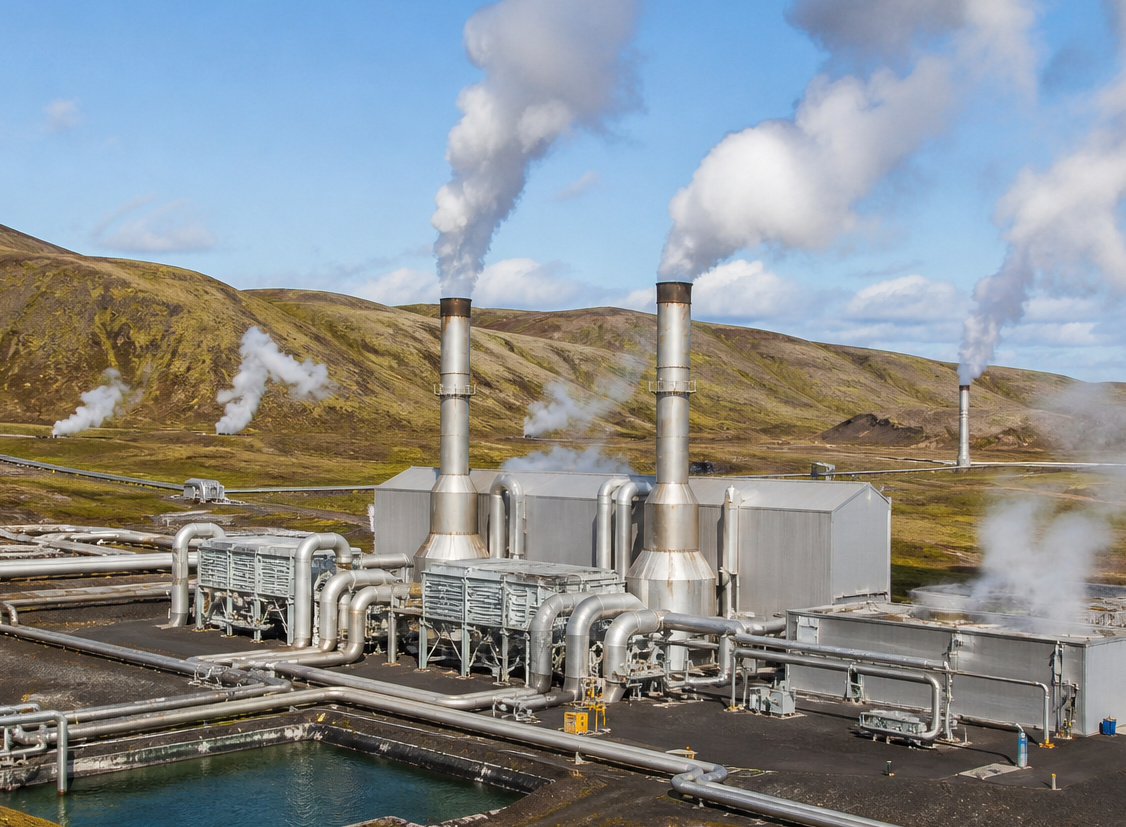
Geothermal power uses heat from deep underground to make electricity. It runs around the clock in any weather, which is what the grid needs as demand climbs. The obstacle is knowing how hot it is down there before committing. Temperature miles underground cannot be measured without drilling, and drilling is expensive. Companies make multimillion-dollar decisions based on predictions, and the deeper the target, the less accurate the prediction gets. That uncertainty is one of the main reasons geothermal energy has not grown faster.
“You're making a costly bet on how hot it is,” said John Lipor, Wedge Vision Associate Professor of electrical and computer engineering at PSU, who leads the project. “We use AI and years of historical data to make that bet less of a gamble.”
How It Works
The team is combining three tools its members have already built. A Stanford model predicts underground temperature across the country. A second Stanford model turns a range of possible temperatures into a range of possible electricity prices, so uncertainty shows up in dollars instead of degrees. PSU's contribution is an algorithm called ARID, which sorts the country into zones that are geologically similar.
That sorting step matters more than it sounds. One model trained on the whole country has to describe the Nevada desert and the Appalachian foothills at the same time, and ends up imprecise about both. Give each zone its own model, and each one only has to be right about one kind of place. The team then adds a final step that recommends which measurement to take next, and where, to shrink the cost range the most.
“Deciding where to make valuable new measurements has always relied heavily on expert judgment,” said Erick Burns, a research hydrologist with the U.S. Geological Survey who has co-led the USGS geothermal machine learning team with Lipor since 2021. “What is new here is a way to test whether machine learning can improve data collection strategies while optimizing both information content and cost savings.”
Among the project's deliverables is a new underground temperature map for Oregon. The team also plans to release its models, data and code publicly through DOE's Geothermal Data Repository, so other researchers and companies can use them.
The nine-month first phase has a specific target: narrow the range on those cost estimates by at least 10 percent on average compared with the method used now. The team will test the system against real measurement records from the DOE-funded Utah FORGE research site, replaying the site's history and comparing what the AI would have recommended with what the engineers there actually chose to do.
Why It Matters
Electricity demand from data centers worldwide is projected to more than double by 2030, with U.S. data centers alone consuming up to 12% of national demand. Geothermal is one of the few carbon-free sources that can run continuously to meet that kind of load. DOE analysis projects that enhanced geothermal systems could grow geothermal capacity from close to 4 gigawatts today to between 90 and 300 gigawatts by 2050, but only if exploration costs come down. That is the bottleneck ARISE is aimed at.
“Geothermal has enormous potential, but the cost of finding out what is underground has held it back,” said Roland Horne, professor of energy science and engineering at Stanford University and director of the Stanford Geothermal Program. “We're looking forward to taking the next step to making geothermal energy more widely available.”
If the first phase meets its targets, the team plans to build the work into a tool developers could use to plan a full exploration campaign, and to extend testing to other regions, including the Newberry volcanic area in central Oregon.